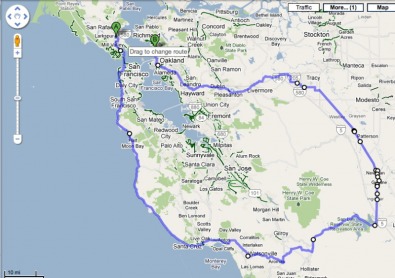
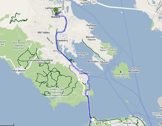
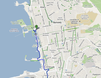
Here is the route we’ve roughly mapped out to be refined in the coming weeks. I plan on biking or driving the route before the 30for30th ride. Always feels better when you know where you’re going or at least have some idea of what you’re in store for. I would start in Corte Madera and head south to Santa Cruz/Wastonville and the east into the valley for the overnight and flat zones, then start heading west again around Tracy and finishing at the BORP headquarters in Berkeley. Mileage comes out to about 290 miles or so. More intense short rides this week to work and back, then the following weekend I’m biking from Corte Madera to Santa Cruz/Watsonville, which should be gorgeous along the pacific coast highway. I made this map with the awesome new bicycle directions on Google Maps. About time Google did this! Just another way Google is saving the world. Even though I trust this new feature on the interweb I still plan to see the route with my own eyes...
30for30th
